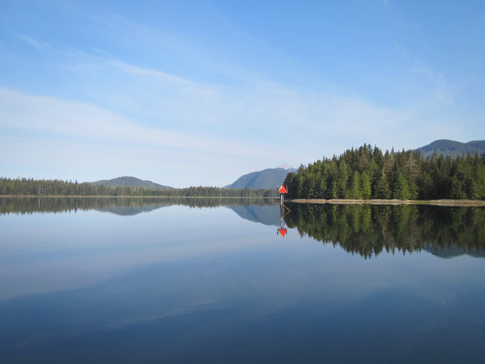
Location: Hoonah, Alaska
 |
| Brown bear (grizzly) digging clams along the shoreline at Windfall Harbor. |
 |
| The humpback whale statue along the Juneau waterfront. |
May 14, Tuesday, Juneau –
Harris Harbor to Taku Bay (20 nm, 3.3 hours):
We pulled away from the Harris Harbor transient dock at 8:00 and headed
south to the Crowley Marine fuel dock, located in the cruise ship harbor. We tied up to the dock and set-up to take on
fuel. We loaded 1622 gallons, filled our
fresh water tank and headed south to Taku Harbor.
 |
| Our view from the fuel dock: a tug boat helping a cruise ship dock in Juneau Harbor. |
We pulled alongside the
public float on the south side of the harbor and settled in for the afternoon.
May 15, Wednesday, Taku Bay
to Windfall Harbor, Seymour Canal (59 nm, 7.4 hours): Away from the dock at 7:30 and south down
Stephens Passage. We could see bergie bits from the glaciers up Tracy Arm on the east side of the
passage. We turned north into Seymour
Canal and made our way up to Windfall Harbor where we anchored for the night.
 |
| View from the stern: the head of Windfall Harbor. |
May 16, Thursday, Windfall
Harbor: We checked the shoreline this
morning with the binoculars and saw lots of deer plus four brown bears feeding
in the meadow. We did a few maintenance
chores then launched the dinghy and headed to the Pack Creek Bear Observatory. It doesn’t officially open
until June 1st, so we cruised the flats and looked for bears. We
didn’t see any so we went back to the boat for lunch and more maintenance
chores.
 |
| Seabiscuit at anchor, Windfall Harbor. |
 |
| Brown bear along the shore near Pack Creek. |
Back to Pack Creek in the
dinghy. We saw a bear along the beach on
the way there, and four bears feeding in the flats along the creek mouth. When we got back to the boat, there was a
bear digging clams along the beach so we went over and watched him.
Brown bear digging clams at the head of Windfall Harbor
May 17, Friday, Windfall
Harbor to Snug Cove, Gambier Bay (46 nm, 7 hours): The clam digging bear was back on the beach
this morning so we went over to watch him before heading out.
 |
| Brown bear looking for clams at the head of Windfall Harbor. |
No crabs in the crab trap. We saw three bears near Pack Creek on our way
out. South down Seymour Canal where we
saw two humpback whales and had some Dall’s porpoises ride our bow wake. We turned into Stephens
Passage, then north into Gambier Bay and anchored in Snug Cove for the
night.
May 18, Saturday, Snug Cove
to Cannery Cove, Pybus Bay (22 nm, 3 hours):
We left Snug Cove about 8:00 after picking up the empty crab trap.
 |
| Humpback whale spouting on the way out of Snug Cove |
We stopped to fish along the way but didn’t
catch anything. We put out the crab
trap, then anchored up in Cannery Cove.
It was a bright, sunny day so we sat on the stern and read our
books. We watched some guys from a
nearby lodge check their crab traps. They
had 6 keepers so we were encouraged that we might catch some.
 |
| Cannery Cove, Pybus Bay |
We did some maintenance
chores. It clouded up and rained in the
afternoon so we moved inside. Early
evening we saw a bear and lots of deer along the shoreline.
May 19, Sunday, Cannery
Cove to Kake (30 nm, 5.5 hours): Started
today with a kayak around the cove. At
the east end, I heard some humpbacks spouting and then saw them as I came
around a small island near the cove entrance.
 |
| B going out for a kayak around Cannery Cove. |
We started the main engine
about 10:30, heaved anchor and picked up the crab trap – four large males
inside, all keepers.
 |
| The crab trap with 4 large male crabs inside. |
We eased out of the
bay and into Stephens Passage. It was
very calm and we stopped to fish near Turnabout Island. I caught a small sculpin which we put
back. We saw some humpback whales
feeding along the shore of Kupreanof Island and Dave saw one breach. We turned south and
followed the channel to Kake. We tied up
at the transient dock in Portage Bay, just south of town.
 |
| A float plane landing just outside Portage Bay Harbor in Kake. |
Dave cleaned the crabs while I put away my
kayak gear and we had fresh crab for supper.
 |
| Fresh crab cooked and ready to eat (note the fancy crab crackers). |
May 20, Monday, Kake: We did some voyage planning this morning
before walking up the road toward town.
The center of town is about 3 miles north of the small boat harbor in
Portage Bay. We poked our heads into a
coffee shop to see if they served lunch – no, then stopped at the liquor store
to ask if there was a café in town. He
suggested a place nearby but wasn’t sure if she was open. We checked, the door was open, but nobody was
around.
 |
| The Kake totem pole, the tallest in South East Alaska. There is a bald eagle sitting at the top. |
We walked up the hill to
look at the totem pole and for a view of the town below. On our way back, we stopped at the grocery
store, then back to the boat for lunch.
We spent the afternoon unlaxing.
After supper, we saw a family fishing for bait off the dock so Dave went
out to try his luck. He caught two bait
fish, then caught a small salmon.
 |
| View of the town of Kake from Totem Pole Hill. |
 |
| View across the Kake Channel. |
May 21, Tuesday, Kake to
Ruth Island, Thomas Bay (62 nm, 8.1 hours):
Breakfast and coffee as usual this morning. I checked into the Net and we got underway
about 7:30. Around the north end of
Kupreanof Island then south into Frederick Sound. It’s a three way crossroads in this area with
Stephens Passage to the northeast, Chatham Strait to the west and Frederick
Sound to the southwest so lots of boat traffic with cruise ships and tugs and
barges around. We turned into Thomas Bay
about 13:30. It was clear and sunny so
we decided to do some sightseeing around the bay before going to our anchor
location. We cruised to the head of the
bay to look at Baird Glacier. It has
receded quite a ways and is no longer a tide water glacier. Next we went up Scenery Cove to look at the
steep granite sides, then to our anchoring spot on the southeast side of Ruth
Island.
 |
| Landslides on the steep slopes surrounding Thomas Bay. |
 |
| Looking toward the Baird Glacier in Thomas Bay. |
We dropped off the crab
trap then settled in for the afternoon.
Fresh salmon for supper.
 |
| Dave fishing off the stern in Ruth Island Cove. |
May 22, Wednesday, Ruth
Island to Petersburg (20 nm, 3.2 hours):
A short run this morning. There
is a strong current near the entrance to the Petersburg harbor, so we timed our
run to arrive at slack water. We heaved
anchor about 7:30 and picked up the crab trap – 7 crabs inside but only one
keeper. We pulled in the north harbor
about 10:30 and tied up alongside in slip #49, the exact same slip we had last
summer. We walked up town and had lunch at Inge’s Garden, a small restaurant with outdoor seating. We stopped at the grocery store for a few things then went back to the boat for afternoon chores. After defrosting the frig, we boiled our crab then sat on the stern and picked crab meat.
 |
| Fresh picked lump crab meat. |
May 23, Thursday,
Petersburg: It was overcast and rainy
this morning. We walked up to the
bakery/café, Salty Pantry, for breakfast.
We took up the laundry, then stopped at the hardware store. They had the barbecue we were looking for so
we bought it and went back to the boat to set it up.
 |
| Dave assembling the new barbecue. |
Crab rolls for lunch –
delicious! We finished the laundry then
spent the afternoon at the library using their internet to look at the weather
and to do some voyage planning.
 |
| The Viking ship Valhalla and the fishermen's memorial in Petersburg. |
May 24, Friday, Petersburg
to Deception Point Cove (19 nm, 2.5 hours):
Our voyage today took us south through Wrangell Narrows. The currents in the Narrows flood and ebb from both ends and meet near the middle, ~ 9 nm from the north entrance and ~12 nm from the south
entrance. In order to get a push from
the current instead of fighting it, you enter on the last of the flood, reach
the middle near slack water and then get a push from the ebb out the other
side. By our calculations, we needed to
leave the dock about 17:30. It was a
nice day so we walked a loop up to the north end of the island, south to Sandy
Beach on the east coast, then west back to the marina.
 |
| Bald eagles along the shoreline at the north end of the Wrangell Narrows near Petersburg. |
We stopped and bought fresh
produce at the large grocery store near the post office, had lunch at a seafood
café, got a few more groceries at the smaller store near the harbor, then went
back to the boat. We filled fresh water,
rinsed the salt off the fore deck and prepared for departure. We left the dock about 17:15 and headed south
down the narrows.
 |
| A day marker marking the channel at the south end of the Wrangell Narrows. |
The voyage was
uneventful. Other than some fishing
vessels near Scow Bay, just south of Petersburg, there weren’t any large
vessels in the Narrows. We saw a few
small fishing boats with families, probably headed to their cabins or to a
camping spot for the long weekend. We made
it to the south end of the narrows, turned into Deception Point Cove and were
anchored up and settled in about 19:45.
May 25, Saturday, Deception
Point Cove to La Bouchere (30 nm, 3.8 hours):
Another bright, sunny day good for cruising. We left the cove and headed west down Sumner
Strait.
 |
| Sea lions on a buoy in Sumner Strait. |
Just before we rounded the north
end of Prince of Wales Island, we saw a bald eagle swimming towards shore. He
was using his wings like a set of oars.
We watched until he safely got ashore, with his fish still in his talons
– and they say eagles can’t swim. We
wove our way into La Bouchere Bay where we anchored for the night. Crab rolls for lunch – delicious! That was
the last of our fresh crab. We spent the
afternoon reading on the stern, washing our exterior windows and watching the
sea otters feed and play in the bay, some of them mothers with new pups.
 |
| La Bouchere Bay on the west side of Prince of Wales Island. |
May 26, Sunday, La Bouchere
to Dry Pass Cove, El Capitan (20 nm, 2.7 hours): We got up early this morning and were
underway at 5:45 heading towards El Capitan Passage. This is a short, narrow, scenic
passage between the east side of Kosciusko Island and the west shore of Prince
of Wales Island. The controlling depth
is 6 to 9 feet, depending on what you read and we wanted to make sure to go
through at high water.
 |
| A channel marker at the north end of El Capitan Passage. It was a sunny, calm day with very little wind. |
We cruised about 3/4 of the
passage, then anchored in Dry Pass Anchorage, a wide spot between two narrow
sections.
 |
| Entering El Capitan Passage. |
We settled in and had
lunch. Our adventure for the afternoon
was a tour of El Capitan Cave. The US
Forest Service dock was about 2.5 nm from where we anchored so we launched the
dinghy and motored down the channel to the dock. The cave tour starts at the bottom of 370
stairs. Two Forest Service summer
interns, both geologists, met us at the bottom of the stairs. We were their first tour of the summer. We climbed the stairs with some stops along
the way to look over the water below and to learn about some of the forest
plants. Once we got to the cave
entrance, we put on our hard hats then went inside. About 50 feet inside the entrance, there is a
very stout gate that is kept locked to prevent vandalism. On the other side of the gate, you climb over
a few rocks to an old river bed that leads you down into the main part of the
cave.
 |
| Our cave guides, Emily and Erin, working on Dave's headlamp before we enter the cave. |
 |
| B and Dave outside the cave entrance. |
Back down the steps to the
meeting area. Our guides were going to
climb back up to look for fossils in the cave walls and to practice their
spiel. This was definitely one of the
more rustic cave tours we have been on and we both enjoyed it. We walked back to the dock and took the
dinghy back to the boat. For supper, we
grilled steaks on our new barbecue.
May 27, Monday, Dry Pass
Cove to Cyrus Cove (24 nm, 3.3 hours):
Nothing in the crab trap this morning.
We heaved anchor and got underway about 7:30, through the last narrow
part of El Capitan Passage and then into the wider and deeper section at the
south end and into Sea Otter Sound. After
dropping off the crab trap, we anchored in the north arm of Cyrus Cove. We spent the afternoon
doing maintenance and cleaning chores and reading our books.
May 28, Tuesday, Cyrus Cove
to Egg Harbor, Coronation Island (35 nm, 5 hours): There was a marine layer hanging over us this
morning. Nothing in the crab trap except
a lion’s mane jelly fish hanging on the side.
We headed out of the cove about 7:30 and turned on the radar. West through Cosmos Pass north of Whale Head
Island, north up the east coast of Warren Island, then a turn to the west and
out into Sumner Strait. We came through
the pass between the south end of the Spanish Islands and Coronation
Island. The fog had lifted. We decided to do some fishing so we found a
high spot, dropped anchor and put our
lines down to the bottom. We caught a
couple of small rock fish and some ling cod but put them all back. Dave hooked a yelloweye rockfish, about 5
pounds, which we kept for supper.
 |
| Dave with a yelloweye rockfish. |
We motored to Egg Harbor
and anchored up for the night. There are
caves along the shoreline in Egg Harbor and a beach so we launched the dinghy
and went ashore for a walk.
 |
| Caves along the shore of Egg Harbor, Coronation Island. |
 |
| Dave with the dinghy on the Egg Harbor flats. |
 |
| Mackerel sky above Egg Harbor. |
May 29, Wednesday, Egg
Harbor to Red Bluff Bay (62 nm, 8.7 hours):
Neither of us slept well last night.
Our anchorage was open to the north and the wind changed direction and started blowing from the northwest. About
midnight, there were williwaws coming down the granite peaks to our west and we
had wrap around swell coming into the anchorage causing the boat to bounce around while the wind whistled across the decks. We heaved anchor at 7:30 and got underway, heading
north toward Chatham Strait. The seas were confused for the first part of the voyage but once we got east of Baranof
Island, we got some protection from the wind. Our trip log rolled over another 10,000 nm,
so that made 20k as logged on the chart plotter (we had some unlogged miles
when our GPS wasn’t working on the west coast of Vancouver Island).
 |
| Our chart plotter showing 9999 on the trip log. We are cruising north up Chatham Strait between Baranof Island and Kuiu Island. |
 |
| The view from the pilot house as the trip log rolls over. |
We turned into the entrance
of Red Bluff Bay about 16:00 and motored to the head of the bay to anchor. There were two other boats anchored up and
two sailboats followed us in. This is a
beautiful place, with a large waterfall flowing down the south side and a huge
“bear meadows” at the head. When we
arrived there were some people ashore walking up the river to fish on a
nearby lake. Later, as they were walking
back out, we saw a brown bear come out into the meadow just behind them. There was no drama but it was interesting to watch. The anchorage was very calm with no wind and
we both slept well.
 |
| The waterfall in Red Bluff Bay. |
May 30, Thursday, Red Bluff
Bay to Baranof Warm Springs (21 nm, 3.3 hours):
Went for a kayak around the bay this morning, up to the waterfall and up
the river a short way. There was a brown
bear out in “bear meadows” but I didn’t see him until I got back to the boat.
 |
| B going for a kayak around Red Bluff Bay. |
 |
| B returning to the boat at the end of the kayak. Bear meadows is in the background. |
We heaved anchor about 10:00
and headed out of the bay, north up Chatham Strait and then west into Warm
Springs Bay. There was room for us at
the dock behind two purse seiners so we tied up alongside.
 |
| Approaching the dock at Baranof Warm Springs |
There was lots of activity in the area: a small cruise ship (66 passenger) was
anchored in the bay shuttling people back and forth to the dock; there were
people kayaking around the waterfall; there were two cruisers anchored near the
waterfall; we watched two sailboats and a small cruising boat come into the
dock along with several smaller vessels. We spent some time unlaxing and
reading our books before walking up the trail to the hot pools near the river. As our guidebook says, the pools are “hot and hotter”. We soaked for about 15 minutes then hiked back down the trail to the boat.
 |
| B and Dave soaking in the pools at Baranof Warm Springs |
May 31, Friday, Baranof
Warm Springs to Tenakee Springs (52 nm, 6.1 hours): Breakfast and coffee as usual and we checked
into the morning net. We got underway at
7:00 in order to catch the current going north up Chatham Strait. We turned northwest into Tenakee Inlet and
tied up at the Tenakee Springs Harbor transient dock. We walked into town, stopped and exchanged a few books, checked out the grocery store then walked down to the library. It was closed so we turned around and headed back. We took a short detour through the cemetery and stopped at the museum on our way back to the boat.
 |
| Apple tree in bloom in Tenakee Springs |
 |
| Seabiscuit at the dock in Tenakee Springs after we turned her around. |
June 1, Saturday, Tenakee
Springs to Hoonah (44 nm, 5.9 hours): We pulled away from the dock this morning about 7:30, after breakfast and the net. Overcast sky and light rain. We cruised out of Tenakee Inlet, north up Chatham Strait. into Icy Strait and then into Hoonah.
 |
| Dall's porpoise riding the bow wake as we cruise north up Chatham Strait |
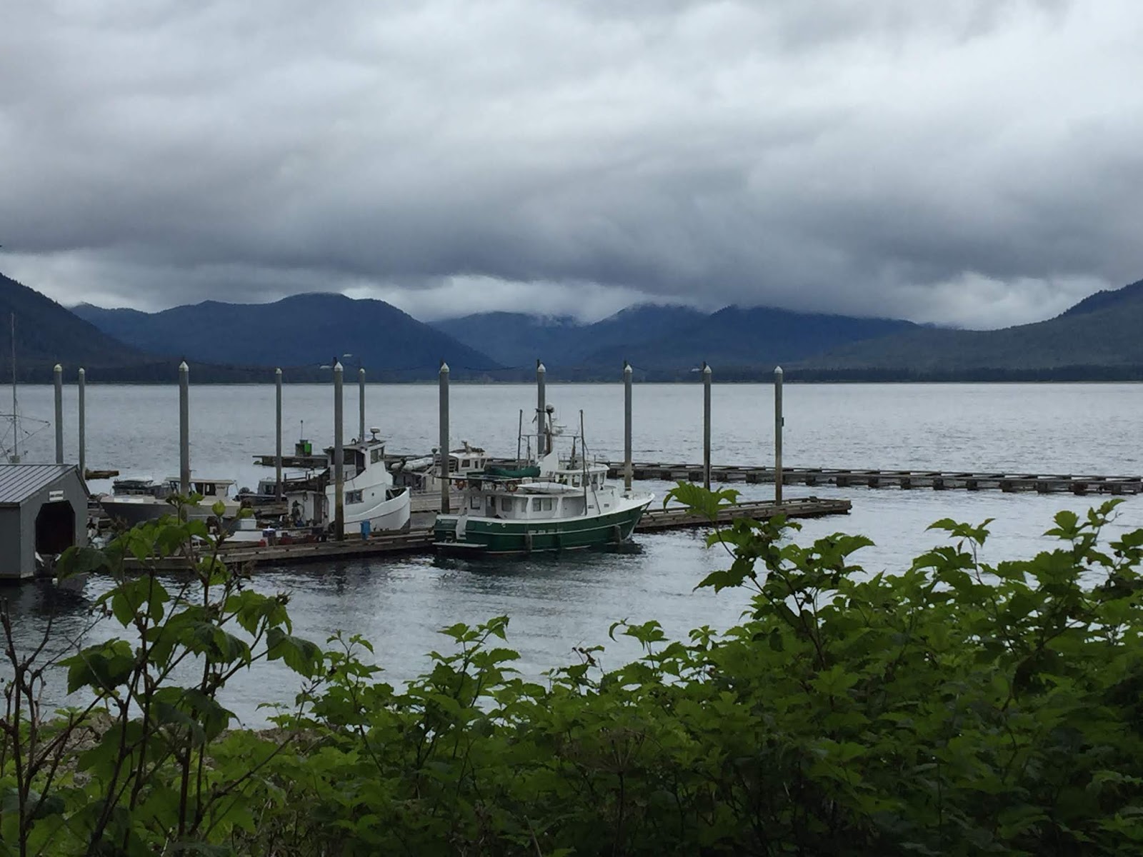
We tied up at the transient dock in Hoonah Harbor and walked into town for lunch. After lunch, we went to the hardware store and the grocery store, then back to the boat for some afternoon chores. For supper, we had pizza and beer at the local brewery. We'll spend the next few days doing maintenance and chores and exploring town.
Until next time...


No comments:
Post a Comment