Location: At anchor, Blind Bay, Shaw Island, Washington
We have finally finished the bash up the Pacific coast and are now tucked inside the San Juan Islands in Washington State. We rounded Cape Flattery, at the northwest tip of the Washington State mainland, on October 3rd and entered the Strait of Juan de Fuca. No more ocean swells and no more river bar crossings to deal with until we head back south in a couple of years.
 |
| Cape Flattery |
 |
| Lighthouse on Tatoosh Island at the entrance of the Strait of Juan de Fuca |
While in Kennewick, we rented a car and toured the Yakima Valley. The Yakima Valley is a large agricultural area teeming with vineyards and orchards. We visited a few wineries, wandered around downtown Toppenish - famous for its murals
Toppenish Murals, and did some hiking.
 |
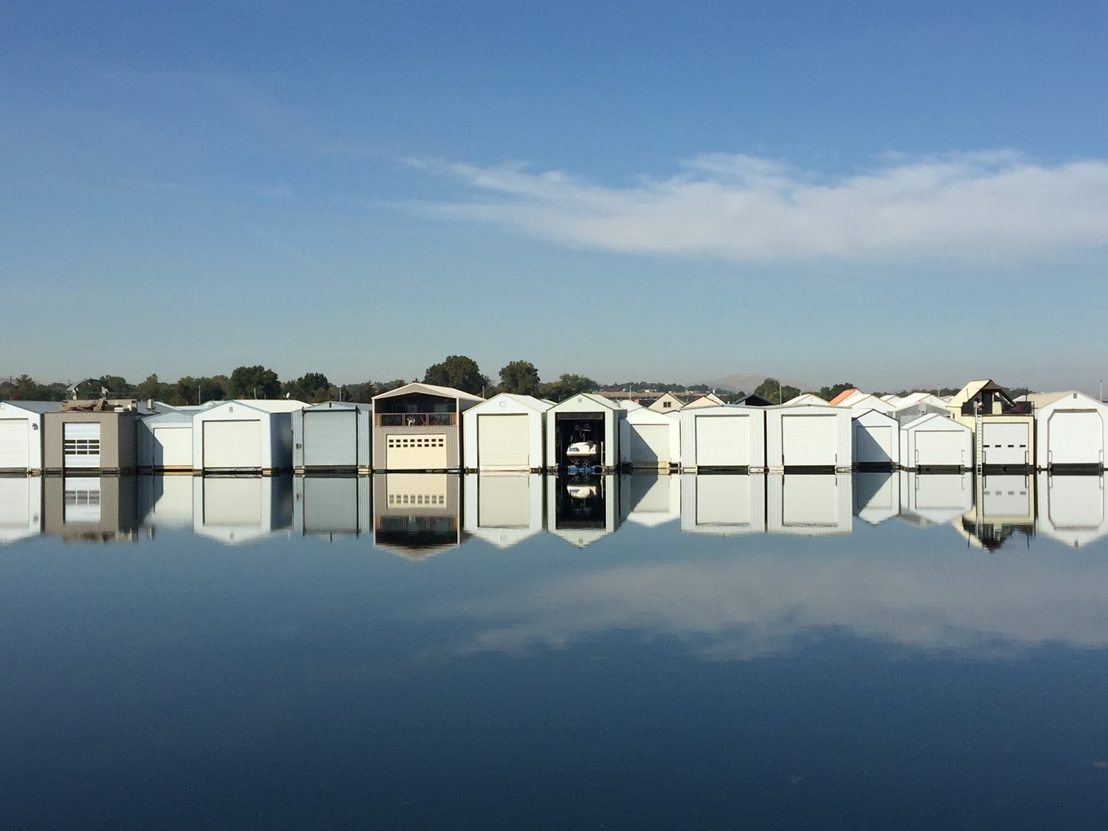
Boat houses at Port of Kennewick. As you can see in the reflections,
the water was extremely calm. |
 |
| Merlot grapes ready for harvest. |
 |
| Halloween Pranks Mural, Toppenish. |
 |
| Description of Halloween Pranks mural, Toppenish. |
 |
| Winter Camp Mural, Toppenish. |
 |
| Description of Winter Camp Mural, Toppenish. |
 |
| Hiking Cowitch Canyon, Yakima, WA. |
 |
| Stream in Cowitch Canyon, Yakima. |
We had planned to leave Kennewick and head up the Snake River to Clarkston, WA / Lewiston, ID. On Monday the 19th, I called ahead to make sure there would be dock space available at the stops along the river. The first two stops, Lyons Ferry and Boyer Park, both had room but when I called the Port of Clarkston, they had four or five cruise ships arriving the weekend we planned to be there so they didn't have dock space available. The other two marinas in the Clarkston / Lewiston area weren't deep enough for us to get into. Based on this, we decided to turn around and head back down the Columbia River and to save the Snake River for another time.
We left Kennewick and headed downstream, thru the McNary Lock, to Arlington on Tuesday, September 20th (73 nm, 9.9 hours).
 |
| Sunset, Kennewick. |
 |
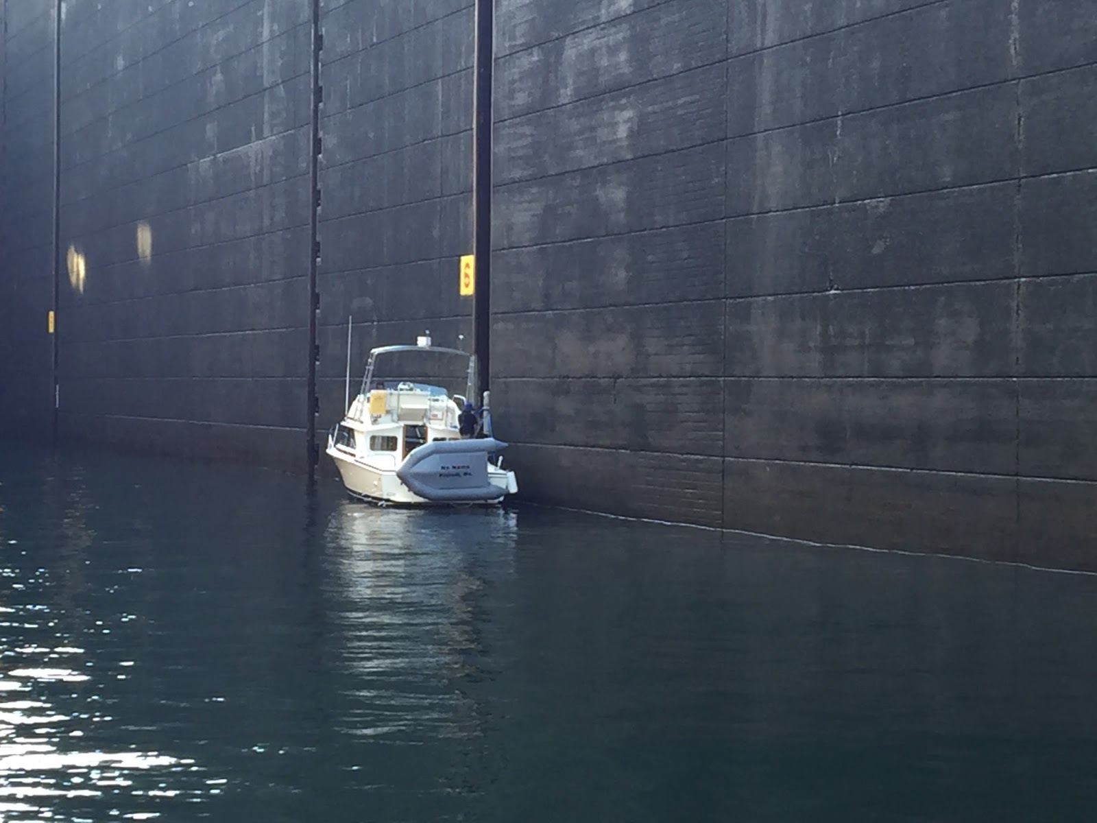
| Entering the McNary Lock, heading downstream. |
 |
| Barge tied up and loading grain, Roosevelt, WA, across the river from Arlington, OR. |
 |
| Swifts gathered on the bow, Arlington, OR. |
On September 22nd, we traveled to Cascade Locks (36 nm, 4.9 hours). On the 23rd, we traveled to Portland (35 nm, 4.8 hours). While in Portland for the weekend, we rented a car and drove to Kennewick. We had ordered some boat parts and had them shipped there. Our plan was to pick them up when we came back down from the Snake River, but, since we decided not to cruise up the Snake, the easiest way to get them was to drive back up there. We stopped at a winery on the Washington side of the Columbia River, toured the Sacajawea State Park and spend a day in Walla Walla.
 |
| Looking over the Columbia River from the Washington Side, near Wishram, WA. |
 |
| Jacob Williams Winery, near Wishram, WA. |
 |
| Overlooking the Columbia River, near the McNary Dam. |
 |
| Agricultural land near Walla Walla. |
We left Astoria on Friday, September 30th and crossed the Columbia River bar back into the Pacific Ocean. Our first destination was Grays Harbor and the town of Westport (63 nm, 8.7 hours). On Saturday, October 1st we moved up the coast to La Push, on the Quilayete River (70 nm, 9.5 hours). The weather was worse than we expected that day, with the wind and waves from the southwest, making for a lumpy ride. The Quilayete River entrance bar was closed most of the day so we made plans to continue on to Neah Bay, about 50 miles further up the coast. We continued to check the bar conditions and about 3:30 that afternoon, the wind changed direction and started to come from the southeast. The Coast Guard re-opened the entrance bar about 4:00 p.m. and we were able to cross into the harbor safely when we arrived about 4:30 p.m. The setting at La Push is beautiful with Little James Island near the river entrance and rock spires to both the north and the south. While there we spotted bald eagles and a sea otter. We stayed an extra day in La Push in order to let the seas calm some and I was able to take my kayak for a paddle up the river.
 |
| James Island and the beach at La Push. |
 |
| James Island as we exited La Push the morning of Oct. 3 |
 |
| Kayaking up the Quilayute River |
 |
| Seabiscuit at the dock, La Push marina. |
We left La Push on the morning of October 3rd and cruised to Port Angeles (91 nm, 11.8 hours). We had planned to stop at Neah Bay, just inside the entrance of the Strait of Juan de Fuca. We were making good time and there was a gale warning out for a storm moving down the west side of Vancouver Island, so we decided to continue on to Port Angeles which would but us well east of the weather and the ocean swells that it would create. We arrived in Port Angeles just after dark.
 |
| Looking north over the downtown area of Port Angeles, WA. |
 |
| Alaskan oil tanker at anchor in Port Angeles Bay. |
October 5th, we cruised up into the San Juan Islands and the Port of Anacortes (44 nm, 6.8 hours). We spent the last few days there, doing boat chores and exploring the town.
 |
| Statue in honor of the families of fishermen, Seafarer's Park, Anacortes, WA. |
 |
| Bier on the Pier Festival, Anacortes |
This morning we cruised to Blind Bay on the northern side of Shaw Island (16 nm, 2.7 hours) and dropped anchor. It is a beautiful, quiet, peaceful setting. We've covered a lot of miles over the last few months. Now we plan to do some leisurely cruising and exploring of the San Juan Islands and the nearby Canadian Gulf Islands.
 |
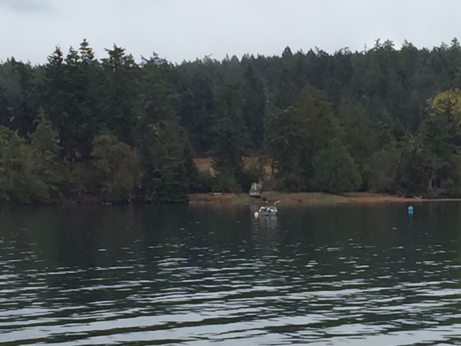
| Shaw Island on the west side of Blind Bay |
 |
| Shaw Island on the south side of Blind Bay. |


Love following you guys!
ReplyDelete